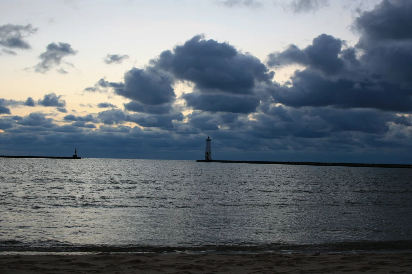
Two communities share Betsie Bay and its Lake Michigan entrance. Municipal launching, private marinas and fishing-oriented lodging pair with beaches, galleries and the Betsie Valley Trail.
Chinook / king salmon · Harbor-mouth model · Catching is never guaranteed. Inland and river conditions can differ.
Know your water. Betsie Bay · Lake Michigan. The harbor-mouth forecast describes nearby Lake Michigan conditions; inland lakes and river stretches can differ. Open the forecast map →
01 / Shore access
Piers & shore access
Public waterfront starting points. Observe posted closures and conditions.
LAKE MICHIGAN BEACH · WEST END OF MAIN STREET
North Pier & North Breakwall
Approach from the public Lake Michigan Beach. The north pier beside the river outlet and the separate north breakwall are used for walking and fishing.
Follow posted closures; stay off exposed structures when waves wash over them.
Confirm seasonal access, hours, launch fees and reservations directly. Ask lodging properties about your complete boat-and-trailer rig and charging needs. Check the marine forecast and posted closures; a favorable fishing score is not a safety rating.
Sources are linked beside listings. Independently selected, not paid placements. Prices and live availability are not tracked.
FAVORITE-PORT ALERTS
Never Miss The Flip
Save your favorites now. Email alerts are coming soon.